


 1
1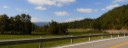 2
2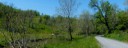 3
3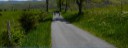 4
4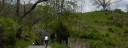 5
5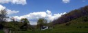 6
6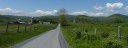 7
7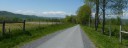 8
8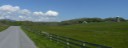 9
9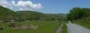 10
10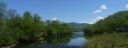 11
11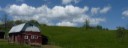 12
12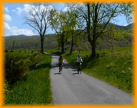
General Route Description
Located in northern Monroe and eastern Summers Counties, this ride features mostly narrow country roads. The short sections of State Route 3 that are utilized are generally light to moderate traffic. The ride is hilly with some steep, but not exceedingly long climbs, rewarded with decent down hills.
Alderson to Pence Springs: Heading South on route 3, you have a steep curving climb leaving Alderson, a flat mile and then a gentle descent into the Wolf Creek Valley. Route 3 then follows Wolf Creek on a very enjoyable flat section of road with one lump to climb before coming the intersection with Co. 10. Taking a right on Co. 10, which is a narrow single lane road, you continue to follow Wolf Creek upstream toward Johnsons Crossroads. This is a fairly easy and pretty ride till nearing Johnsons Crossroads when it gets steep.
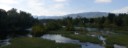
Passing thru the Crossroads you will have a moderate climb, a descent and then a real steep climb to the intersection of Co. 7 at the headwaters of Wolf and Kelly Creeks. Taking a right on 7, you have a long descent, dropping down to Kelly Creek. 3.7 miles after turning onto Co. 7, you take a left to continue to on Co. 7, crossing Kelly Creek and begin the steep climb (10% +) over to the Greenbrier drainage. Monroe Co. 7 becomes Summers Co. 15 at the top of the climb. Toping out, you have a sweet descent down to the Greenbrier River. At the river, you take a right to continue on Co. 15 and a fairly flat ride along the river over to Pence Springs.
Pence Springs to Alderson: At Pence Springs, you cross the Greenbier River and arrive at State Route 3 and 12 again. (Off to the right, you will see a store, which is the only source of food/water on the route.) You take a left and an immediate right onto Co. 3/18 and begin a steep (8-10%) half mile climb up to intersection with Co. 6, Clayton Road.
Taking a right at the intersection, you continue to climb on a much gentle rate along Right Hand Fork of Hungard Creek for 3.1 miles to Clayton. At Clayton, you continue straight at the intersection onto Co. 7 and continue climbing for another half mile before the rather steep descent down to the Greenbrier river. You bare right at the bottom of the descent at the intersection with Co. 7/14. Arriving at State Route 3 again, you take a left for a flat 1.8 miles back to Alderson. This should be the busiest section of road on the ride.
Food-Water Sources:
The only public food and water sources on the route, is the convenience store off to the right at the junction of CO. 15 and State 3 in Pence Springs. The route goes in the opposite direction.