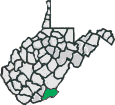
Monroe County
 Monroe County, in the southeast corner of the state, is a fairly recent (2008) biking destination for me, but is now one of my favorite places to ride. Monroe County is a farming area and features some great pastoral scenery. Though not known for it mountains, it is far from flat. With the exception of U.S. 219, traffic density is fairly light throughout the county. Much of the central part of the county has karst topography, providing a undulating surface with many sink holes. There are extensive caves under the central part of the county. Several of the rides listed will feature climbs of one to three miles in length. Riding in the county rewards you with green pastures, dense forests, and great vistas.
- Population: 12,376 (2020)
- Pop. per Sq. Mi: 26
Monroe County Rides
We hope you enjoy your cycling experience in this beautiful area of the state.
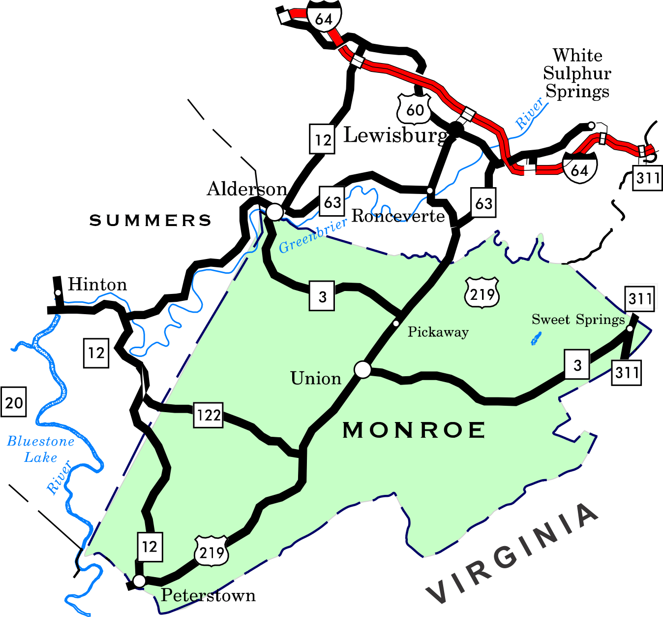
If you are looking for a flat road ride, Waiteville to Paint Bank on Monroe 17 - Virginia 600 provides almost 24 miles (out and back) of railroad grade flat mileage. Co. 17 makes up part of the Gap Mills Loop.
State route 122 can provide several miles of rolling road without any significant climbs.
Though most of the listed routes are short, they can be combined to make longer rides. Check this overview map (pdf) for possible combination routes. You should be able to click on the names in the overview map and pull up the page for the ride. There is also a Indian Mills - Greenville area riding page that describes riding in the area and has a map of the area.
- Alderson, Sinks Grove, Clayton Loop,
Length 44, Rating
4.1
- Bozoo Loop, Length 42.6, Rating 3.8
- Bozoo - Wikel Combined, Length 68.8, Rating 5.5
- Clayton Loop, Length: 21.6 miles, Rating: 2.0
- Gap Mills Loop, Length: 36.9, Rating: 3.3
- Hokes Mill Loop, Length: 33.5, Rating 3.5
- Indian Mills Loop, Length: 36.3, Rating 3.2
- Indian Mills - Wikel Combined, Length: 62.2, Rating 5.0
- Johnsons Crossroads - Clayton Loop, Length: 31.5, Rating 2.8
- Lewisburg-Sinks Grove-Blue Sulphur Springs Loop, Length: 47.7; Rating 4.7
- Lowell - Johnsons Crossroads Loop, Length: 27.4, Rating 2.4
- Monitor Loop, Length 16.8, Rating 1.4
- Muddy Creek Mtn - Sinks Grove Loop, Length 29.8, Rating 2.9
- Red Sulphur Springs Loop, Length 21.7 miles, Rating 1.8
- Sarton Loop , Length: 47.4, Rating 3.3
- Sinks Grove Loops B, Length::6.9 miles. Rating: 0.5
- Sinks Grove Loops C, Length: 4.5 miles, Rating: 0.4
- Sinks Grove Loops A-B-C: Length: 12.5 miles, Rating: 0.9
- Sinks Grove Loops A-B, Length: 10.2 miles, Rating: 0.7
- Tour de Sinks, Length 29.0 miles, Rating 2.6
- Wikel Loop, Length: Length 20.7 miles, Rating 1.8
A little about the county.
 Monroe County, named for James Monroe, 5th president of the United States, was formed in 1799 when it was created from part of Greenbrier County. Monroe is known more as an agricultural area, but offers great scenic recreational cycling opportunities. Even though it is not known for it mountains like Tucker, Randolph and Pocahontas Counties, riding in Monroe usually requires some good climbing legs.
Alderson, on the Greenbrier River, in the northwestern part of the county, is the low point at 1,541 feet. Peters Mountain, that forms the eastern boundary, is the high point with one of the peaks reaching 4,032 feet, giving an total elevation variance of 2,491 feet in the county. Most of the peaks in the central part of the county are in the 3,000 to 3,200 foot range, with the valleys in the 2,000 to 2,200 foot range.
Monroe County has a population of 12,376 (2020 census) in an area of 473 square miles. With a population density of 26 persons per square mile, it is a very rural county. There are two significant communities in Monroe County. Union, the county seat, with a population of 565 persons and Alderson with a population of 1,184. Alderson is divided by the Greenbrier River, with the area north of the river being in Greenbrier County and the area south of the river being in Monroe County.
The largest alluvial diamond (34.48 carats) found in North American was discovered in Monroe County in 1928 near Peterstown, while pitching horseshoes.
Area Attractions
For me, the combination of beautiful farms and forests is the major attraction of the county. Union, the county seat is a charming little community.
Lodging
Disclaimer
The listing of routes on this site is not a guarantee of the safety of the route. Cycling has inherent risks and riders skills vary. Traffic conditions vary by time of day, season and local events. Road conditions can vary and change and may change dramatically over one winter season. Riders need to ride within their capabilities and be alert for road hazards and traffic at all times.
Copyright Notice:
This site, maps, photos and all materials created for this site are copyright of the author unless otherwise noted. They may NOT be posted on other sites or reproduced for sale or profit, without specific permission of the author. However, the maps and turn lists may be down loaded for personal, non profit use.


 1
1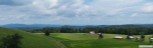 2
2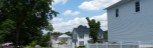 3
3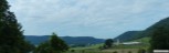 4
4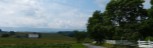 5
5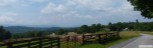 6
6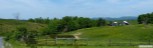 7
7 8
8 9
9