


 1
1 2
2 3
3 4
4 5
5 6
6 7
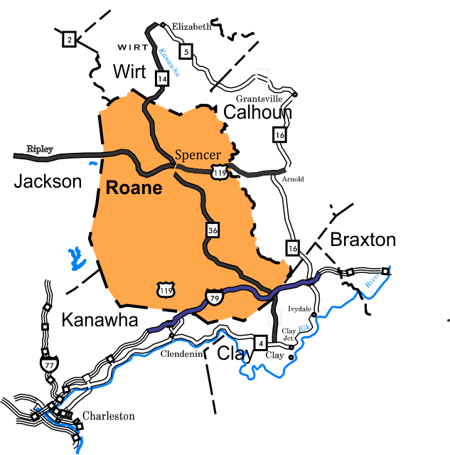
7Roane County Rides
- Amma Loop - 36 miles, 2,000 feet of climbing, rating:.2.8
- Sandyville - Palestine Loop, 46.8 miles, 1,400 feet of climbing, rating: 3.2
- Elizabeth Loop, - 55.9 Miles, Rating: 4.0
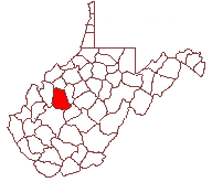 Roane County is located in the west central part of West Virginia.
Roane County was created in 1856 and the county and the county seat were named for Virginia judge Spencer Roane (1762-1822). Elevation ranges from 633 to 1470 (Weedy Knob) with most valleys being in the 650-750 feet range and ridges 1000-1200 feet. Oil and gas extraction and agriculture are the major industries.
Bike Shops
The listing of routes on this site is not a guarantee of the safety of the route. Cycling has inherent risks and riders skills vary. Traffic conditions vary by time of day, season and local events. Road conditions can vary and change and may change dramatically over one winter season. Riders need to ride within their capabilities and be alert for road hazards and traffic at all times.
This site, maps, photos and all materials created for this site are copyright of the author unless otherwise noted. They may NOT be posted on other sites or reproduced for sale or profit, without specific permission of the author. However, the maps and turn lists may be down loaded for personal, non profit use.