


 3rd highest point in the state.
 Back Mt. Road intersection with State 66,


 Heading toward Durbin.


 1
1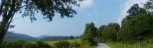 2
2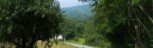 3
3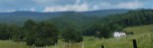 4
4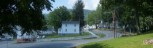 5
5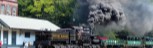 6
6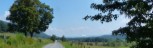 7
7 8
8 9
9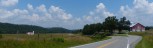 10
10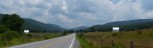 11
11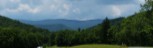 12
12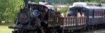 13
13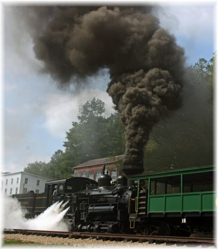 Length: 36.5 Miles
General Route Description
From Cass To Bartow, the ride follows two lane striped highways with some high speed traffic. Traffic is usually moderate. Just past Greenbank, is the Greenbank National Radio Observatory. If you have the time, add a mile to the ride by taking a bike ride though the observatory. I often go in behind the grade school, going around the gate at the tennis course. This takes you straight over to the large telescope. From there you can take a right to go over to he main entrance. The Observatory had a good little deli in it. There is also a restaurant in Boyer This section is fairly flat until you pass Boyer, where you have a mile climb of mostly of 6-7 percent gradient.
Bartow to Durbin: Dropping down into Bartow, you take a left onto Back River Road just before you cross the bridge. This will keep you off of Rt. 250 which has more traffic than Rt. 28. Back River Road is rolling as it follows the hillside above the river. As it nears Durbin it turns right and crosses the river, coming out on Rt. 250 - 92 at the train station.
Durbin to Cass: Taking a left thru downtown Durbin, you have two options to access Back Mt. Road. You can take 250/13 across the old bridge and follow it to 250/11, take a left on 250/11 for more climbing to Back Mountain Road. This is a slightly easier climb to Back Mountain Road. The other option is to cross the river on 250/92 and take a left at the end of the bride onto 250/11. Back Mt. Road cuts off of 250/11 about halfway up the climb on 250-/11. The climb out of Durbin up to Back Mt. Road is the hardest climb on the route. You hit the high point of the ride shortly after turning onto Co. 1. The rest of the route into Cass following the lower slopes of Back Allegheny Mountain. The road is undulating with some short steep climbs, but overall downhill into Cass. Two and a half miles out of Cass you begin a long steep downhill. At the bottom of the descent you will cross the RR tracks of Cass Scenic Railroad. Be careful of the tracks. A couple turns in Cass, takes you back to the parking lot.
I generally do this ride from Durbin, thereby getting the harder climbing out of the way in the first half of the ride.
Food-Water Sources:
There are several sources of food and water on the route. There are places for food and drink on each side of the bridge in Cass. In Greenbank, there is a convenience and grocery store. If you are looking for a place for a light meal during the ride, the snack bar at the radio observatory is pretty good. Boyer has a restaurant. There is a restaurant and a grocery store (Kinder Market) in Durbin. There are no water or food sources between Durbin and Cass. Be sure to have enough water when you leave Durbin.